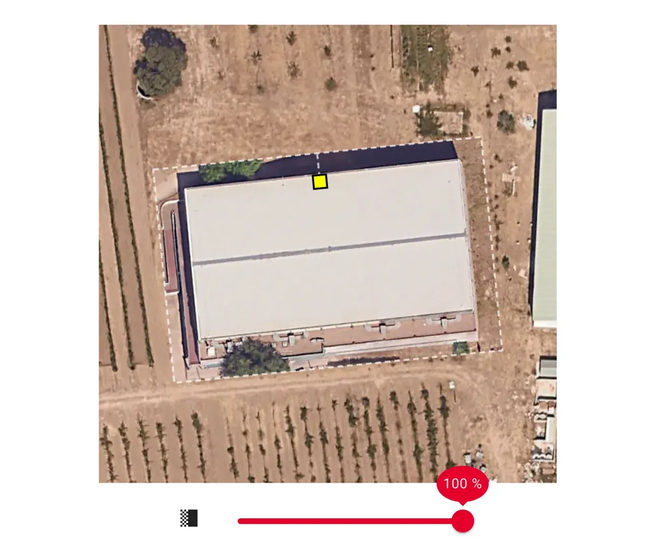
Aerial image
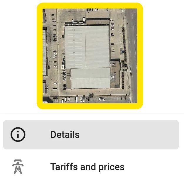
You can change the aerial image of your project (also known as "satellite" image) by clicking on the project image at the top left.
Databases
You can then choose from the various databases available for that location and select the image that best suits your project.
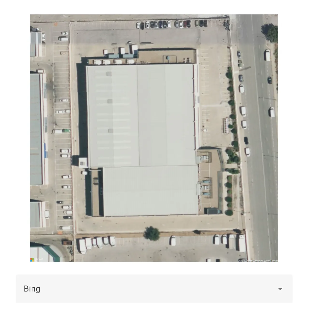
Typically you will find at least the following options:
Depending on the project location, you may also find other local databases available like:
In general, Google offers the highest quality images. However, local databases can provide more up-to-date images.
Custom image
You can upload a custom image to layer on top of the current aerial image displayed:
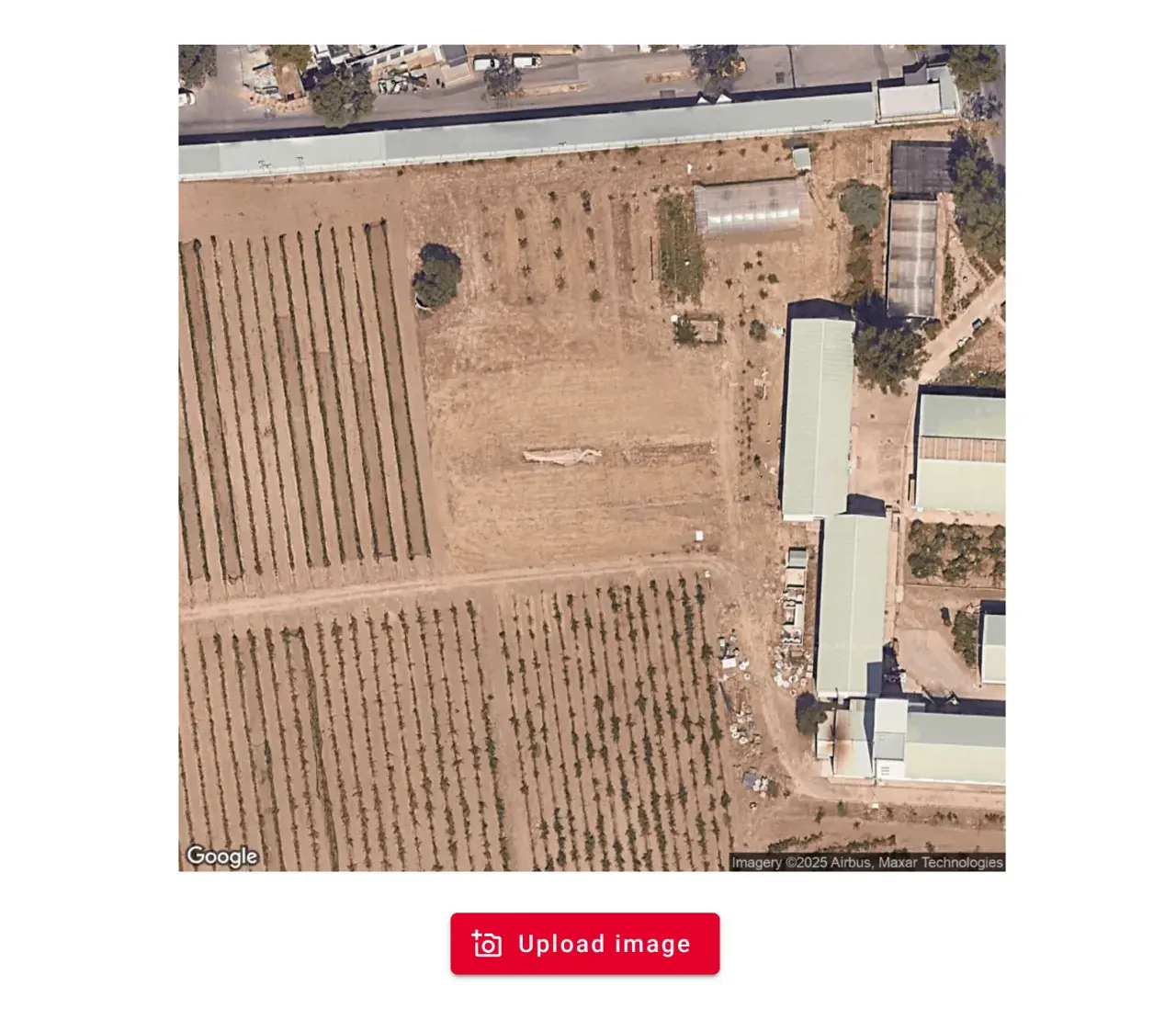
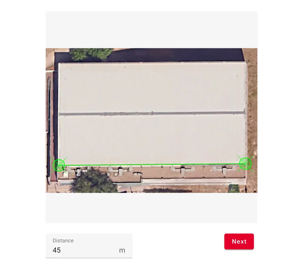
Next, you can click two points in your image that represent a known distance, and enter the value of that distance:
Finally, you can set the position, rotation and transparency of your custom image:
TIP
Besides using the handle to rotate the image, or entering a specific angle, you can also click two points that define the South–North direction.